Select month and year to view the percent deviation.
Month
Year
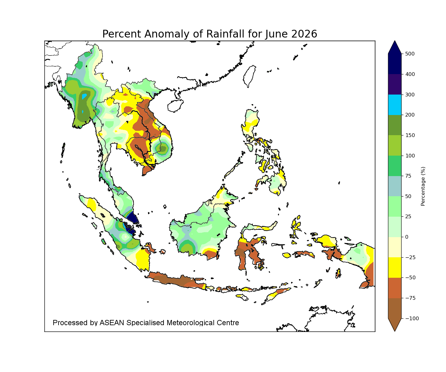
Regional Rainfall
- All maps are to be used solely for displaying meteorological/geophysical information, and not for any other purpose. All maps are not to scale and for illustrative purpose only.
- Rainfall data is based on the NOAA NCEP CPC unified gauge-based global precipitation dataset. The rainfall data may be less representative for areas with low density of rainfall network.
- Hatched areas indicate climatology dry mask (average daily rainfall below 1 mm).