Monthly Archives: September 2023

September 29, 2023

Subseasonal Weather Outlook (2 – 15 October 2023)

Subseasonal Weather Outlook (2 – 15 October 2023)

Issued: 29 September 2023
First forecast week: 2 October – 8 October 2023
Second forecast week: 9 October – 15 October 2023

figure1

Figure 1: Rainfall Outlook

figure2

Figure 2: Temperature Outlook


Drier conditions are predicted over much of the Maritime Continent in Week 1 (2 – 8 October). These drier conditions are predicted to persist in Week 2 (9 – 15 October), although with lower likelihood over Borneo and the southern Philippines.

Wetter conditions are predicted over much of Mainland Southeast Asia in Week 2 (9 – 15 October).

For temperature over Mainland Southeast Asia, warmer than usual temperature is predicted in Week 1 (2 – 8 October). In Week 2 (9 – 15 October), warmer than usual temperature is predicted to persist over the southeastern part of the region. For the Maritime Continent, warmer than usual temperature is also predicted over most of the region in the next fortnight (2 – 15 October).

In the second half of September, there was no clear Madden-Julian Oscillation (MJO) signal. Most models predict no significant MJO signal during the forecast period.

The outlook is assessed for the region in general, where conditions are relative to the average conditions for the corresponding time of year. For specific updates on the national scale, the relevant ASEAN National Meteorological and Hydrological Services should be consulted.

Alert20230929 – Activation of Alert Level 2 for Sumatra

Activation of Alert Level 2 for Sumatra

Over the past week, extended dry weather conditions have become more widespread across the southern ASEAN region, which contributed to an increase in the number of hotspots in the region. Based on surveillance from the NOAA-20 satellite, 241 and 145 hotspots were detected in Sumatra on 27 and 28 September 2023 respectively. Moderate to dense smoke haze was observed to emanate from clusters of hotspots detected in central and southern parts of Sumatra.

While some isolated showers are forecast for Sumatra in the coming days, dry weather is expected to persist in parts of central and southern Sumatra, with the prevailing winds likely to continue blowing from the southeast or southwest. Under these conditions, the hotspot and smoke haze situation there could worsen, with an increased risk of transboundary smoke haze occurrence.

ASMC Bulletin (Issue #11, 2022/2023)

ASMC Bulletin (Issue #11, 2022/2023)

September 18, 2023

Subseasonal Weather Outlook (18 September – 1 October 2023)

Subseasonal Weather Outlook (18 September – 1 October 2023)

Issued: 15 September 2023
First forecast week: 18 September – 24 September 2023
Second forecast week: 25 September – 1 October 2023

figure1

Figure 1: Rainfall Outlook

figure2

Figure 2: Temperature Outlook


Wetter conditions are predicted over the parts of the equatorial region, including the northwestern Maritime Continent, northern Borneo and the southern Philippines in Week 1 (18 – 24 September). Wetter conditions are also predicted over southern Mainland Southeast Asia in Week 2 (25 September – 1 October).

Drier conditions are predicted over most of the southern Maritime Continent in Week 1 (18 – 24 September). These drier conditions are predicted to extend northwards during Week 2 (25 September – 1 October) to cover much of the southern ASEAN region.

Warmer than usual temperature is predicted over much of Mainland Southeast Asia in the next fortnight (18 September – 1 October). In Week 1 (18 – 24 September), warmer than usual temperature is predicted to develop over parts of the equatorial region. By Week 2 (25 September – 1 October), warmer temperature is predicted over much of the southern ASEAN region, in line with the predicted drier conditions.

By the middle of September, there was no clear Madden-Julian Oscillation (MJO) signal. Most models predict no significant MJO activity during the forecast period.

The outlook is assessed for the region in general, where conditions are relative to the average conditions for the corresponding time of year. For specific updates on the national scale, the relevant ASEAN National Meteorological and Hydrological Services should be consulted.

September 14, 2023

Review of Regional Haze Situation for August 2023

Review of Regional Haze Situation for August 2023

1.1 In August 2023, the southwest monsoon conditions continued as the prevailing winds blew from the southwest or west over the northern ASEAN region and blew from the southeast or southwest over the southern ASEAN region (Figure 1). The southwesterly winds over the northern parts of the Philippines were strong at times under the influence of Super Typhoon Saola towards the end of the month.

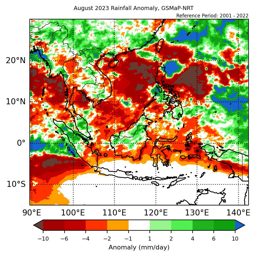
1.2 As the monsoon rainband moved further north of the Equator, it was dry on most days of the month over Java, the Lesser Sunda Islands, Sulawesi and the southern parts of Sumatra and Kalimantan. Showers were observed over the rest of the ASEAN region on most days. In particular, Super Typhoon Saola brought intense and widespread rainfall over the northern parts of the Philippines (Figure 1).


Figure 1: Average Daily Rainfall and Mean Winds for August 2023. (Source: JAXA GsMaP and GFS, respectively)


1.3 Compared to July 2023, there was a significant increase in the number of hotspots over the southern ASEAN region in August 2023 with the highest increase in hotspot activity observed over Kalimantan. Year-on-year comparison (Figure 2) also shows higher hotspot counts in Kalimantan compared to the past 3 years and were comparable to the hotspot count in 2019. In the rest of the ASEAN region, the overall hotspot counts were lower or comparable to previous years.


Figure 2: Hotspot counts for the southern ASEAN region for August (2019-2023) based on NOAA-20 satellite surveillance.


Figure 3: Hotspot counts for the northern ASEAN region for August (2019-2023) based on NOAA-20 satellite surveillance.


1.4 Under the prolonged dry conditions, clusters of hotspots were detected in Kalimantan (Figure 4) with more intense and persistent hotspots located mostly in South and West Kalimantan (Figure 4 and 5). Isolated hotspots were also detected mainly in Java, the Lesser Sunda Islands, Sulawesi and the southern and central parts of Sumatra (Figure 4). Moderate smoke haze was observed on some days in Kalimantan as well as in the southern and central parts of Sumatra (Figure 9). The smoke haze situation over South and West Kalimantan escalated towards the end of the month with dense smoke haze observed on some days (Figure 6 and 8). The smoke haze over West Kalimantan was also observed to drift northwards into western Sarawak on a few occasions (Figure 6 and 7). In the northern ASEAN region, the hotspot activity remained low under the prevailing wet weather with isolated hotspots mostly detected in Viet Nam (Figure 4).


Figure 4: Distribution of hotspots detected in August 2023 based on NOAA-20 satellite surveillance.


Figure 5: Maximum fire intensity in August 2023 based on NOAA-20 satellite surveillance.


Figure 6: Number of days with moderate to dense haze observed in August 2023 based on NOAA-20 satellite surveillance.


Figure 7: Slight to moderate smoke haze was observed in West Kalimantan drifting northwards towards western Sarawak on 31 August 2023. (Source: Himawari-9 satellite)


Figure 8: Moderate to dense smoke haze were observed over South Kalimantan on 31 August 2023. (Source: Himawari-9 satellite)


Figure 9: Moderate smoke plumes were observed to emanate from hotspots detected in the southern parts of Sumatra on 31 August 2023. (Source: Himawari-9 satellite)


September 13, 2023

Review of Regional Weather for August 2023

Review of Regional Weather for August 2023


1. Overview

1.1 During August 2023, a mix of below- to above-average rainfall was recorded over Southeast Asia. Over Mainland Southeast Asia, below-average rainfall was recorded over central and southern parts of the region, while a mix of below- to above-average rainfall was recorded over the rest of the region. However, there was some discrepancy over Cambodia, with GSMaP-NRT indicating predominantly near- to above-average rainfall, while CMORPH-Blended indicating well below-average rainfall. Over the Maritime Continent, below-average rainfall was recorded over much of the southern half of the region, with below- to above average rainfall over much of the northern half. For Southeast Asia, the largest positive (wetter) anomalies were recorded over parts of western Myanmar for GSMaP-NRT (Figure 1, left) and CMORPH-Blended (Figure 1, right) satellite-derived rainfall estimates. The largest negative (drier) anomalies were recorded over parts of Cambodia (CMORPH-Blended) and southern Sumatra, parts of the Maluku Islands and southern Papua (both GSMaP-NRT and CMORPH-Blended).

1.2 The observed rainfall anomaly pattern of below-average rainfall over the southern half of the Maritime Continent and a mix of below- to near-average rainfall elsewhere is broadly consistent with the predictions from the subseasonal weather outlooks for August 2023 (7 – 20 August 2023 and 21 August – 3 September 2023).

era5_rainfall_anomalies
cmorph_bld_rainfall_anomalies
Figure 1: Rainfall anomalies for August 2023 based on GSMaP-NRT data (left) and CMORPH-Blended data (right). The climatological reference period is 2001-2022. Green colour denotes above-average rainfall (wetter), while orange denotes below-average rainfall (drier).


1.3 Above-average temperatures were recorded over most of Southeast Asia, apart from over northern Mainland Southeast Asia and the southern Maritime Continent where a mix of below- to above-average temperature was recorded. The warmest anomalies (more than 1°C above average) were recorded over parts of Thailand, Cambodia, central and southern Viet Nam, as well as the central equatorial region.

era5_temperature_anomalies


Figure 2: Temperature anomalies for August 2023 based on ERA-5 reanalysis. The climatological reference period is 2001-2022. Red colour denotes above-average temperature (warmer), while blue denotes below-average temperature (colder).


2. Climate Drivers

2.1 For much of August, there was no coherent Madden-Julian Oscillation (MJO) signal. While there were some indications of an MJO signal based on the RMM index, there was no eastward propagation until the last week of August. During the last week of August, based on the RMM Index, an MJO signal propagated from the Western Hemisphere (Phase 1) to the Indian Ocean (Phases 2 and 3). Typically for August, Phases 1 and 2 tend to bring drier conditions to northeastern Southeast Asia, while Phases 2 and 3 bring wetter conditions to the western Maritime Continent.

mjo_phase_diagram


Figure 3: The MJO phase diagram. The diagram illustrates the movement of the MJO through different phases, which correspond to different locations along the equator (denoted in the text with the first day of the month in blue and the last day of the month in red). The distance of the index from the centre of the diagram is related to the strength of the MJO. Values within the grey circle are considered weak or indiscernible (data from the Bureau of Meteorology, Australia).


2.2 El Niño conditions were present during August 2023. Sea surface temperatures in the Nino3.4 region (used to monitor ENSO) were consistent with El Niño conditions, with signs of El Niño-like response in key atmospheric indicators. El Niño events tend to bring drier-than-average conditions to much of the Maritime Continent during the June to August period.


September 1, 2023

Subseasonal Weather Outlook (4 – 17 September 2023)

Subseasonal Weather Outlook (4 – 17 September 2023)

Issued: 1 September 2023
First forecast week: 4 September – 10 September 2023
Second forecast week: 11 September – 17 September 2023

figure1

Figure 1: Rainfall Outlook

figure2

Figure 2: Temperature Outlook


Wetter conditions are predicted over parts of Mainland Southeast Asia and the northern half of the Philippines in Week 1 (4 – 10 September).

Drier conditions are predicted over much of the southern ASEAN region in the next fortnight (4 – 17 September), with the highest likelihood over the southwestern part of the region.

Warmer than usual temperature is predicted over most of the southern ASEAN region in the next fortnight (4 – 17 September), in line with the predicted drier conditions. Elsewhere, in Week 1 (4 – 10 September), warmer than usual temperature is predicted over much of northern and central Mainland Southeast Asia.

No coherent Madden-Julian Oscillation (MJO) signal was present in the second half of August. Some models predict an MJO signal to develop over the Indian Ocean (Phase 3) or the Maritime Continent (Phases 4 and 5) during the first week of September. These models then predict the signal to propagate eastwards into the Western Pacific (Phases 6 and 7) by the end of the forecast period.

The outlook is assessed for the region in general, where conditions are relative to the average conditions for the corresponding time of year. For specific updates on the national scale, the relevant ASEAN National Meteorological and Hydrological Services should be consulted.