Subseasonal Weather Outlook (6 – 19 September 2021)
Issued 3 September 2021
First forecast week: 6 September – 12 September
Second forecast week: 13 September – 19 September
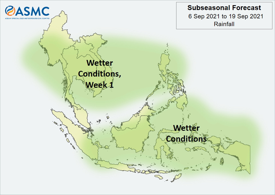
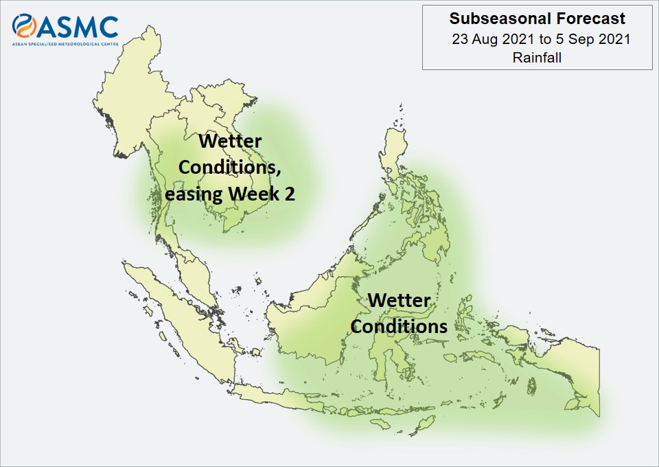
Wetter conditions are expected in the next fortnight (6 – 19 September) over much of the central and eastern Maritime Continent. Wetter conditions are also expected in Week 1 (6 – 12 September) over most parts of Mainland Southeast Asia as well as northern parts of the Philippines. These wetter conditions are generally expected to ease by Week 2 (13 – 19 September), apart from a small increase in probability that the wetter conditions continue for some coastal regions of Myanmar.
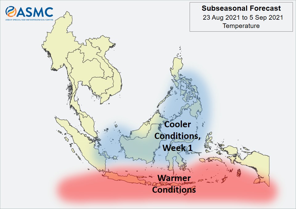
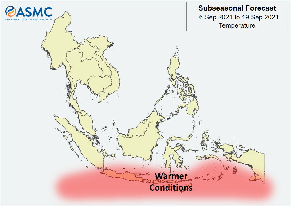
Warmer temperatures are expected over the southern Maritime Continent in the next fortnight (6 – 19 September).
No coherent MJO signal was present at the start of September. Some models predict an MJO to develop over the Indian Ocean (Phases 2 and 3) in Week 1 and then propagate eastwards over the Maritime Continent (Phases 4 and 5). There is a large uncertainty in the strength of this MJO signal.
The outlook is assessed for the region in general, where conditions are relative to the average conditions for the corresponding time of year. For specific updates on the national scale, the relevant ASEAN National Meteorological and Hydrological Services should be consulted.