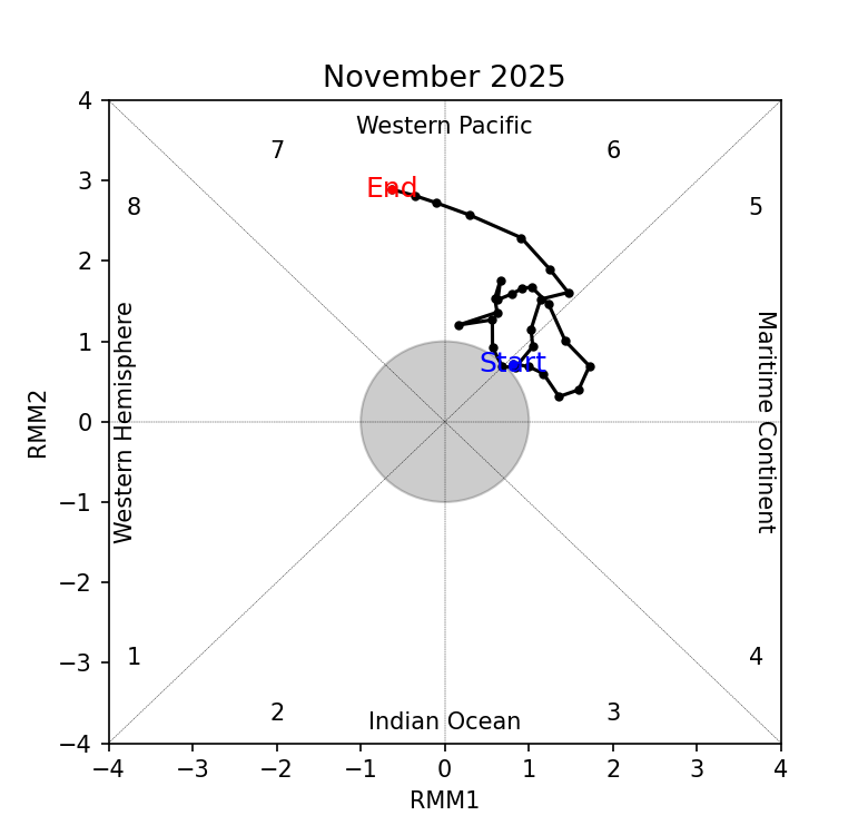
Review of Regional Haze Situation for November 2025
1.1 In November 2025, the inter-monsoon conditions gradually gave way to the Northeast Monsoon conditions over the ASEAN region as the prevailing winds were observed to blow from the northeast or east over most parts of the northern ASEAN region. However, light and variable prevailing winds were still observed to persist in most parts of the southern ASEAN region.
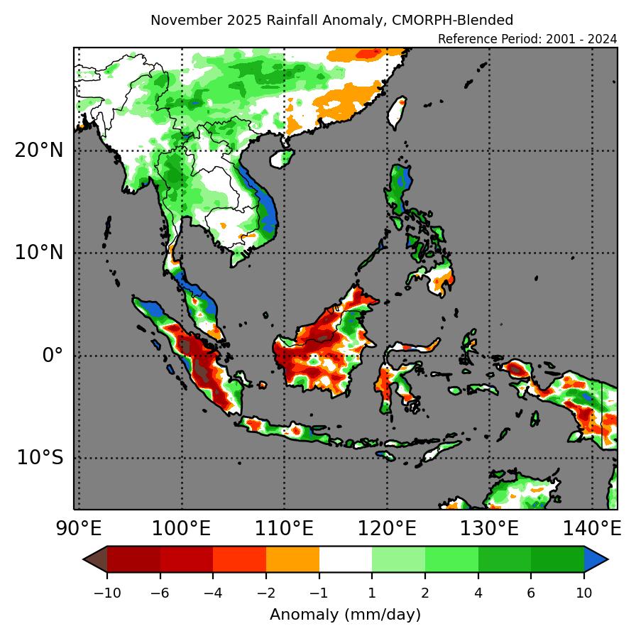
1.2 Dry conditions emerged over parts of the Mekong sub-region in November 2025 except for wet weather observed over the central and southern parts of Viet Nam. Increased rainfall amounts in Viet Nam and the Philippines were attributed to heavy showers caused by Typhoon Kalmaegi and Typhoon Fung-wong.
1.3 Widespread wet weather was observed to persist over the southern ASEAN region in November 2025. Heavier showers were also observed in the southern parts of Thailand and the northern parts of Sumatra due to Tropical Cyclone Senyar. Floods and landslides were reported in parts of Peninsular Malaysia, Indonesia and Thailand, leading to loss of lives and infrastructure damage.

Figure 1: Average Daily Rainfall and Mean Winds for November 2025. (Source: JAXA GsMaP and GFS, respectively)
1.4 The hotspot counts for the ASEAN region in November 2025 were lower than or comparable to the previous years (Figure 2 and 3).

Figure 2: Hotspot counts for the southern ASEAN region for November (2021-2025) based on NOAA-20 satellite surveillance.

Figure 3: Hotspot counts for the northern ASEAN region for November (2021-2025) based on NOAA-20 satellite surveillance.
1.5 For the southern ASEAN region, isolated hotspots were detected in Sumatra and Borneo, with localised smoke plumes observed in parts of Kalimantan, Sabah and Sumatra on a few days. For the northern ASEAN region, a few to isolated hotspots were detected in many parts of the Mekong sub-region. Moderate smoke plumes were observed in the northern parts of Viet Nam on 24 November 2025 (Figure 6 and 7) and localised smoke plumes were observed emanating from isolated hotspots in parts of Myanmar, Thailand, Viet Nam and Lao PDR.
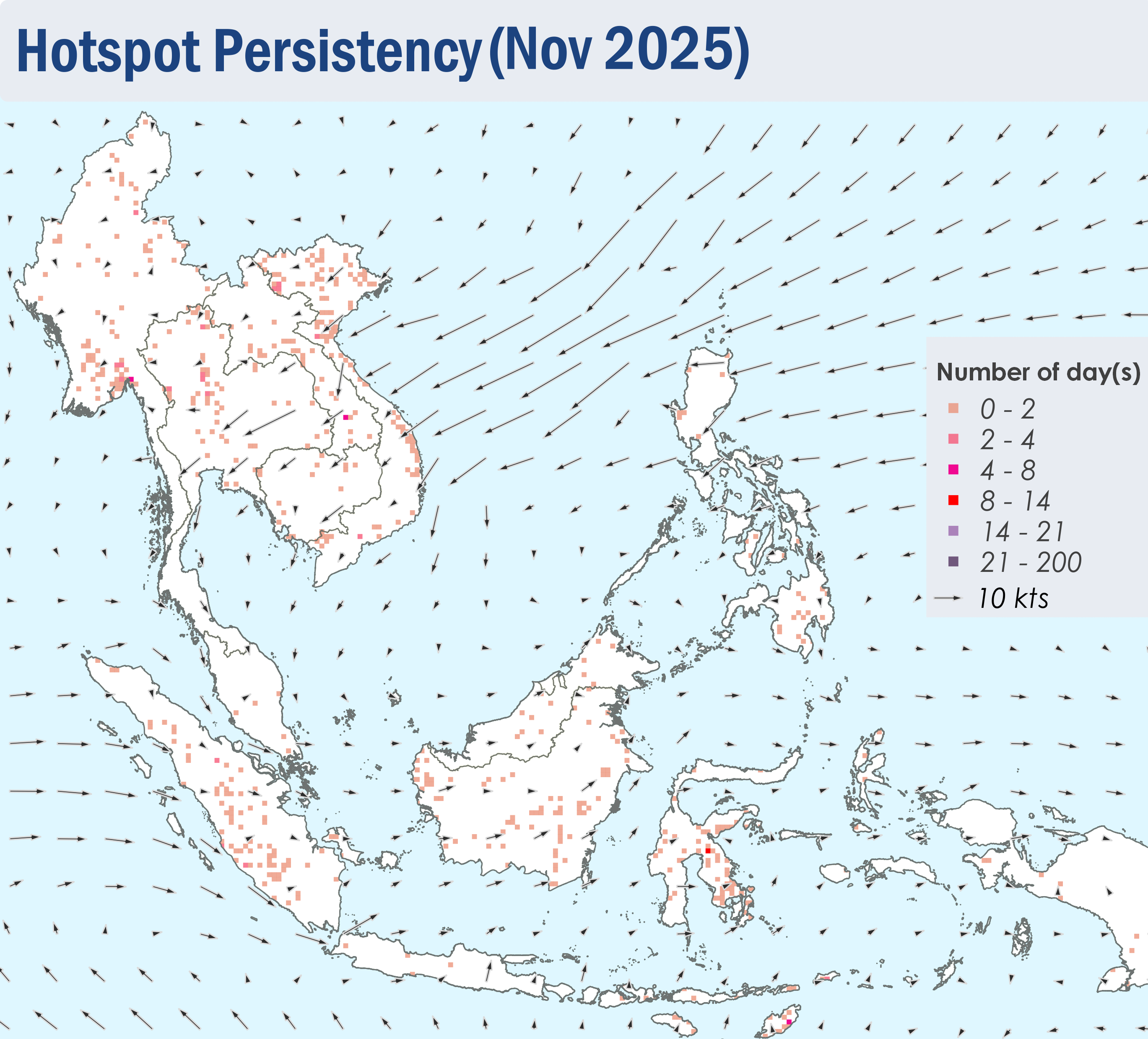
Figure 4: Distribution of hotspots detected in November 2025 based on NOAA-20 satellite surveillance.
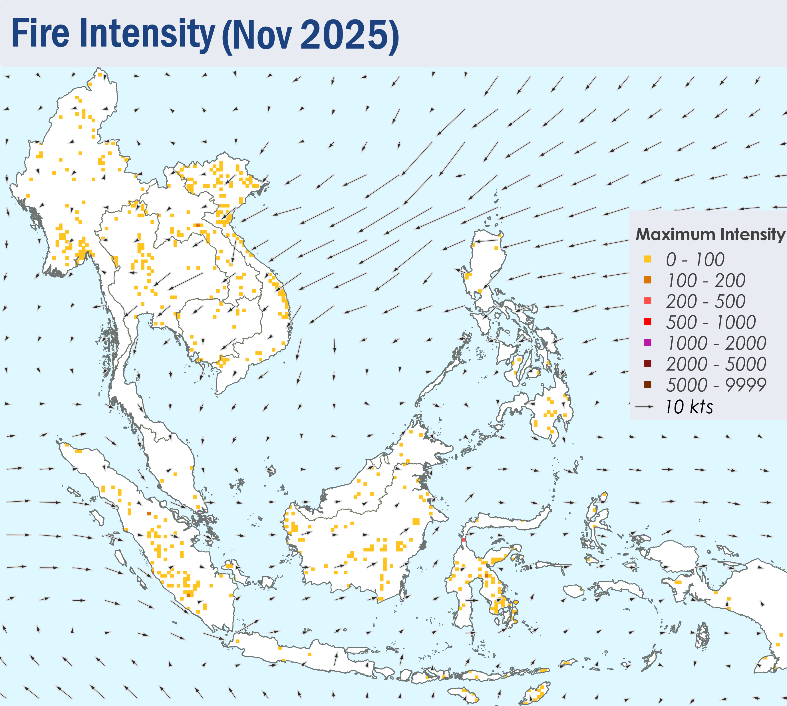
Figure 5: Maximum fire intensity in November 2025 based on NOAA-20 satellite surveillance.
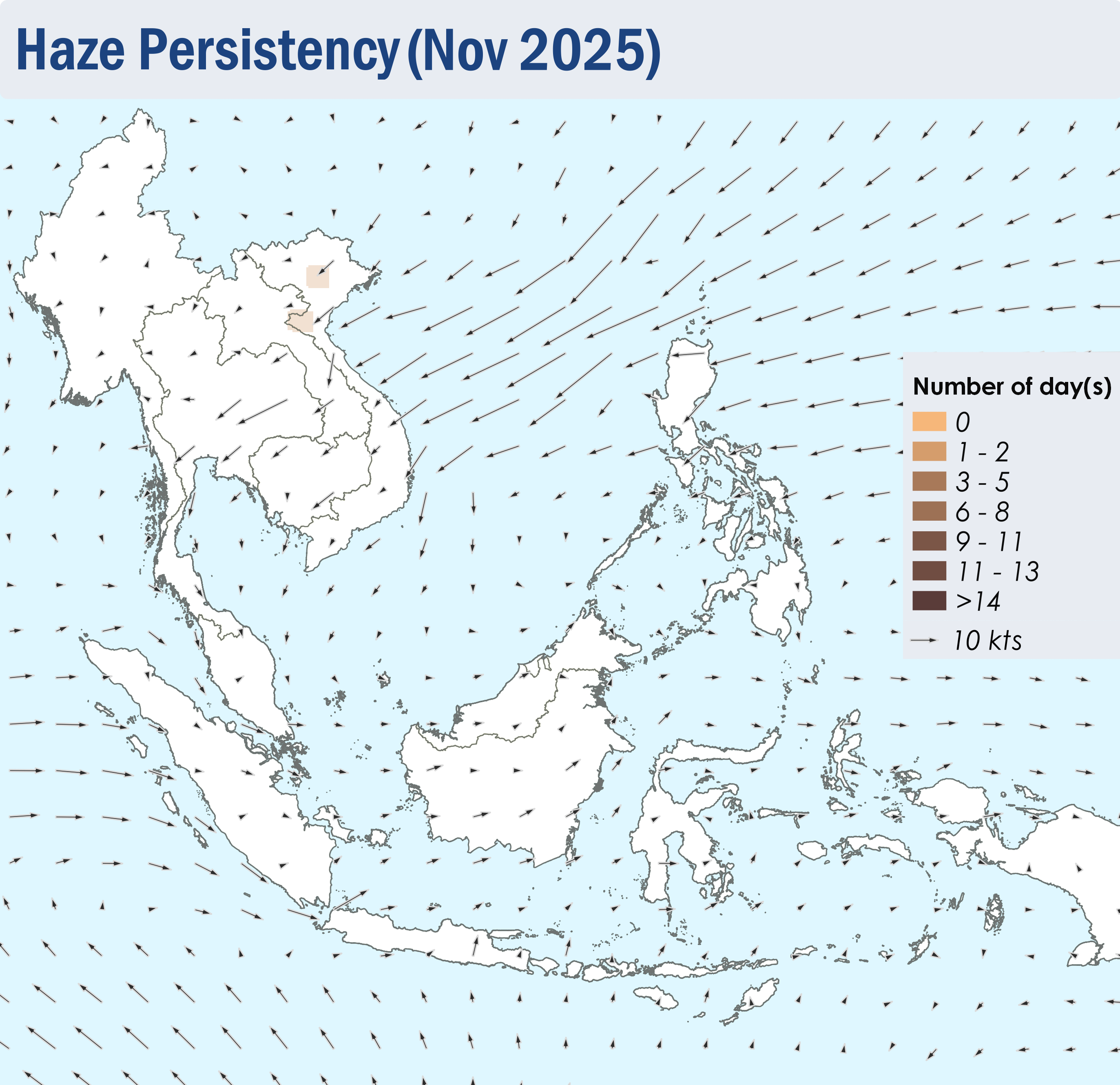
Figure 6: Number of days with moderate to dense smoke haze observed in November 2025 based on satellite imagery, ground observations, and air quality reports.

Figure 7: Slight to moderate smoke haze observed in the northern parts of Viet Nam on 24 November 2025. (Source: Himawari-8 satellite surveillance)