Subseasonal Weather Outlook (4 – 17 October 2021)
Issued 1 October 2021
First forecast week: 4 October – 10 October
Second forecast week: 11 October – 17 October
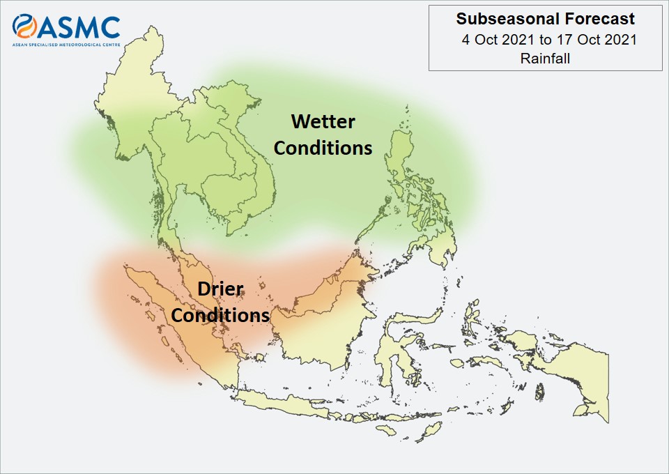
Wetter conditions are expected over much of the northern ASEAN region in the next fortnight (4 – 17 October). In Week 1 (4 – 10 October), wetter conditions are predicted over the Philippines, as well as southern and eastern Mainland Southeast Asia. These wetter conditions are likely to become more widespread in Week 2 (11 – 17 October), covering the Philippines and most of Mainland Southeast Asia, apart from northern Myanmar.
Drier conditions are expected over the western Maritime Continent and parts of Borneo in the next fortnight (4 – 17 October).
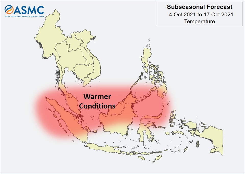
Warmer than usual temperatures are predicted over much of the equatorial region in the next fortnight (4 – 17 October), including the region where drier conditions are predicted.
A Madden-Julian Oscillation (MJO) signal appeared to be developing over the Maritime Continent (Phase 4) at the end of September based on the RMM Index. Models predict this signal to propagate eastwards for Week 1 of the forecast period. Some models predict this signal to continue propagating through the Western Pacific (Phases 6 and 7) in Week 2, while others predict the signal to decay in Phase 5.
The outlook is assessed for the region in general, where conditions are relative to the average conditions for the corresponding time of year. For specific updates on the national scale, the relevant ASEAN National Meteorological and Hydrological Services should be consulted.